

BOARDWALK
Pleasure Craft

Current Trip
CAPE HENRY
| Time Travelled | --- |
|---|---|
| Remaining Time | --- |
| Distance Travelled | --- |
| Remaining Distance | --- |
| AVG Speed | --- |
| MAX Speed | --- |
| AVG Wind | --- |
| MAX Wind | --- |
| MIN Temp | --- |
| MAX Temp | --- |
| Diepgang | 3.6 M |
| Positie ontvangen | 9 d geleden |
Current Position
| Lengtegraad | --- |
|---|---|
| Breedtegraat | --- |
| Status | Under way using engine |
| Snelheid | 13.7 Knopen |
| Koers | 304.9° |
| Gebied | North Atlantic Ocean |
| Station | T-AIS |
| Positie ontvangen | 9 d geleden |
Information
The current position of BOARDWALK is in North Atlantic Ocean with coordinates 38.10400° / -76.52521° as reported on 2025-03-13 16:50 by AIS to our vessel tracker app. The vessel's current speed is 13.7 Knopen
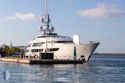
The vessel BOARDWALK (IMO: 9855317, MMSI: 319205400) is a Pleasure Craft It's sailing under the flag of [KY] Cayman Is.
In this page you can find informations about the vessels current position, last detected port calls, and current voyage information. If the vessels is not in coverage by AIS you will find the latest position.
The current position of BOARDWALK is detected by our AIS receivers and we are not responsible for the reliability of the data. The last position was recorded while the vessel was in Coverage by the Ais receivers of our vessel tracking app.
The current draught of BOARDWALK as reported by AIS is 3.6 meters
Weather
| Temperature | 8.6°C / 47.48°F |
|---|---|
| Wind Speed | 6 knots |
| Direction | 38° NE |
| Pressure | 1016.1 hPa |
| Humidity | 85.6 % |
| Cloud Coverage | 100 % |


Featured Company
Last Port Calls
| Port | Arrival | Departure | Time In Port |
|---|---|---|---|
| 2025-02-09 03:41 | |||
| 2025-02-06 10:49 | 2025-02-06 10:55 | 5 m | |
| 2025-02-06 10:44 |
Most Visited Ports (Last year)
| Port | Arrivals | |
|---|---|---|
| 8 | ||
| 7 | ||
| 5 | ||
| 2 | ||
| 2 | ||
| 2 |
Last Trips
| Origin | Departure | Destination | Arrival | Distance | |
|---|---|---|---|---|---|
| 2025-02-06 10:55 | 2025-02-09 03:41 | 928.21 nm | |||
| 2025-02-06 10:44 | 2025-02-06 10:49 | 0.21 nm |
Events
| Tijd | Evenement | Details | Positie / Bestemming | Info |
|---|---|---|---|---|
| 2025-03-13 16:50 | Buitenbereik |
38.10400 / -76.52521
North Atlantic Ocean
|
Snelheid: 13.7 kn Koers: 304.9° |
|
| 2025-03-13 16:31 | Binnenbereik |
38.06376 / -76.44921
North Atlantic Ocean
|
Snelheid: 13.7 kn Koers: 303.8° |
|
| 2025-03-13 12:32 | Buitenbereik |
37.28539 / -76.17484
North Atlantic Ocean
|
Snelheid: 12.3 kn Koers: 4.1° |
|
| 2025-03-13 11:06 | Binnenbereik |
37.01604 / -76.05669
North Atlantic Ocean
|
Snelheid: 12.3 kn Koers: 331.9° |