

ANTONI
Not available

Current Trip
| Trip Time | --- |
|---|---|
| Trip Distance | --- |
| AVG Speed | --- |
| MAX Speed | --- |
| Diepgang | --- |
| AVG Wind | --- |
| MAX Wind | --- |
| MIN Temp | --- |
| MAX Temp | --- |
| Positie ontvangen | 3 d geleden |
Current Position
| Lengtegraad | --- |
|---|---|
| Breedtegraat | --- |
| Status | Engaged in Fishing |
| Snelheid | |
| Koers | --- |
| Gebied | Adriatic Sea |
| Station | T-AIS |
| Positie ontvangen | 3 d geleden |
Information
The current position of ANTONI is in Adriatic Sea with coordinates 45.08040° / 13.63299° as reported on 2025-03-26 06:18 by AIS to our vessel tracker app. The vessel's current speed is 0 Knopen and is currently inside the port of ROVINJ.
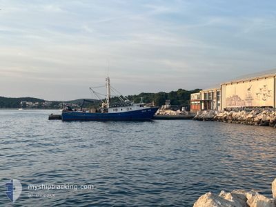
The vessel ANTONI (IMO: 9241736, MMSI: 238905840) is a Not available It's sailing under the flag of [HR] Croatia.
In this page you can find informations about the vessels current position, last detected port calls, and current voyage information. If the vessels is not in coverage by AIS you will find the latest position.
The current position of ANTONI is detected by our AIS receivers and we are not responsible for the reliability of the data. The last position was recorded while the vessel was in Coverage by the Ais receivers of our vessel tracking app.
Weather
| Temperature | 10.4°C / 50.72°F |
|---|---|
| Wind Speed | 4 knots |
| Direction | 33° NNE |
| Pressure | 1014.4 hPa |
| Humidity | 78.6 % |
| Cloud Coverage | 25 % |


Featured Company
Most Visited Ports (Last year)
| Port | Arrivals | |
|---|---|---|
| 14 |
Last Trips
| Origin | Departure | Destination | Arrival | Distance |
|---|
Events
| Tijd | Evenement | Details | Positie / Bestemming | Info |
|---|---|---|---|---|
| 2025-03-26 06:18 | Buitenbereik |
45.08040 / 13.63299
Adriatic Sea
[HR] ROVINJ
|
Snelheid: Koers: 0° |
|
| 2025-03-26 06:07 | Stop beweging |
45.08039 / 13.63302
[HR] ROVINJ
|
Snelheid: 0.1 kn Koers: 511° |
|
| 2025-03-26 06:01 | Aankomsthaven |
|
45.07543 / 13.63091
[HR] ROVINJ
|
Snelheid: 6.6 kn Koers: 54° |
| 2025-03-26 04:24 | Start beweging | 4.35 nm, West of BRIJUNI |
44.92248 / 13.66790
ROVINJ-ROVIGNO
|
Snelheid: 4.2 kn Koers: 302° |
| 2025-03-25 18:10 | Binnenbereik |
44.92347 / 13.67006
Adriatic Sea
|
Snelheid: Koers: 257° |
|
| 2025-03-25 13:35 | Buitenbereik |
45.08615 / 13.63931
Adriatic Sea
|
Snelheid: Koers: 251.2° |
|
| 2025-03-25 05:25 | Stop beweging | 0.36 nm, North of ROVINJ |
45.08480 / 13.63438
ROVINJ-ROVIGNO
|
Snelheid: 0.3 kn Koers: 511° |
| 2025-03-25 04:40 | Start beweging | 3.82 nm, West of ROVINJ |
45.06283 / 13.54884
ROVINJ-ROVIGNO
|
Snelheid: 4.2 kn Koers: 328.4° |
| 2025-03-25 04:35 | Stop beweging | 3.7 nm, West of ROVINJ |
45.06296 / 13.55169
ROVINJ-ROVIGNO
|
Snelheid: 0.3 kn Koers: 511° |
| 2025-03-25 04:29 | Start beweging | 3.76 nm, West of ROVINJ |
45.06103 / 13.55095
ROVINJ-ROVIGNO
|
Snelheid: 3.1 kn Koers: 284.3° |