
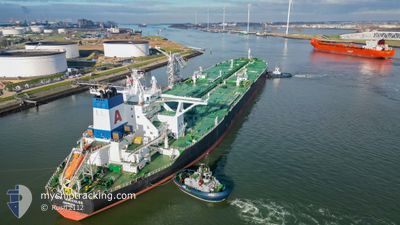
ALMI HERCULES
Tanker
Current Trip
USCRP>USOCT
| Time Travelled | 20 days |
|---|---|
| Remaining Time | --- |
| Distance Travelled | 5241.17 nm |
| Remaining Distance | --- |
| AVG Speed | 13 Knopen |
| MAX Speed | 14.6 Knopen |
| AVG Wind | 13.6 knots |
| MAX Wind | 29.9 knots |
| MIN Temp | 19.7°C / 67.46°F |
| MAX Temp | 29.4°C / 84.92°F |
| Diepgang | 20.6 M |
| Positie ontvangen | 9 d geleden |
Current Position
| Lengtegraad | -62.07200° |
|---|---|
| Breedtegraat | 13.84419° |
| Status | Under way using engine |
| Snelheid | 12.8 Knopen |
| Koers | 108° |
| Gebied | Caribbean Sea |
| Station | T-AIS |
| Positie ontvangen | 9 d geleden |
Info
Information
The current position of ALMI HERCULES is in Caribbean Sea with coordinates 13.84419° / -62.07200° as reported on 2024-04-19 14:20 by AIS to our vessel tracker app. The vessel's current speed is 12.8 Knopen
The vessel ALMI HERCULES (IMO: 9583732, MMSI: 636020453) is a Tanker It's sailing under the flag of [LR] Liberia.
In this page you can find informations about the vessels current position, last detected port calls, and current voyage information. If the vessels is not in coverage by AIS you will find the latest position.
The current position of ALMI HERCULES is detected by our AIS receivers and we are not responsible for the reliability of the data. The last position was recorded while the vessel was in Coverage by the Ais receivers of our vessel tracking app.
The current draught of ALMI HERCULES as reported by AIS is 20.6 meters
Weather
| Temperature | 26.3°C / 79.34°F |
|---|---|
| Wind Speed | 15 knots |
| Direction | 86° E |
| Pressure | 1013.7 hPa |
| Humidity | 76.1 % |
| Cloud Coverage | 16 % |
Featured Company
Last Trips
Events
| Tijd | Evenement | Details | Positie / Bestemming | Info |
|---|---|---|---|---|
| 2024-04-19 14:38 | Status Changed | Default Under way using engine |
13.82360 / -62.00913
USCRP>USOCT
|
Snelheid: 12.8 kn Koers: 108° |
| 2024-04-19 14:20 | Gevonden in zee | Saint Lucia part of the Caribbean Sea |
13.84419 / -62.07200
Caribbean Sea
|
Snelheid: 12.8 kn Koers: 108° |
| 2024-04-19 14:20 | Status Changed | Under way using engine Default |
13.84419 / -62.07200
USCRP>USOCT
|
Snelheid: 12.8 kn Koers: 108° |
| 2024-04-19 14:20 | Binnenbereik |
13.84419 / -62.07200
Caribbean Sea
|
Snelheid: 12.8 kn Koers: 108° |
|
| 2024-04-19 14:20 | Buitenbereik |
13.84419 / -62.07200
Caribbean Sea
|
Snelheid: 12.8 kn Koers: 108° |