

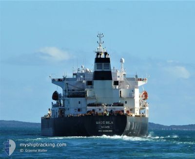
XUE SONG
Oil/Chemical Tanker

Current Trip
NAKHODKA
| Time Travelled | 2 days |
|---|---|
| Remaining Time | --- |
| Distance Travelled | 496.76 nm |
| Remaining Distance | --- |
| AVG Speed | 11.8 Noeuds |
| MAX Speed | 13.3 Noeuds |
| AVG Wind | 19.1 knots |
| MAX Wind | 22 knots |
| MIN Temp | 7.5°C / 45.5°F |
| MAX Temp | 18.4°C / 65.12°F |
| Tirant d eau | 10.5 m |
| Position reçue | 2025-01-19 02:26 |
Current Position
| Longitude | --- |
|---|---|
| Latitude | --- |
| Etat | Under way using engine |
| Vitesse | 11.3 Noeuds |
| Parcours | 82° |
| Zone | Singapore Strait |
| Station | T-AIS |
| Position reçue | 2025-01-19 02:26 |
Information
The current position of XUE SONG is in Singapore Strait with coordinates 1.25352° / 104.14093° as reported on 2025-01-19 02:26 by AIS to our vessel tracker app. The vessel's current speed is 11.3 Noeuds
The vessel XUE SONG (IMO: 9428358, MMSI: 626309000) is a Oil/Chemical Tanker that was built in 2009 ( 16 Age ). It's sailing under the flag of [GA] Gabon.
In this page you can find informations about the vessels current position, last detected port calls, and current voyage information. If the vessels is not in coverage by AIS you will find the latest position.
The current position of XUE SONG is detected by our AIS receivers and we are not responsible for the reliability of the data. The last position was recorded while the vessel was in Coverage by the Ais receivers of our vessel tracking app.
The current draught of XUE SONG as reported by AIS is 10.5 meters
Weather
| Temperature | 7°C / 44.6°F |
|---|---|
| Wind Speed | 24 knots |
| Direction | 341° NNW |
| Pressure | 1025.4 hPa |
| Humidity | 62 % |
| Cloud Coverage | 70 % |


Featured Company
Most Visited Ports (Last year)
| Port | Arrivals | |
|---|---|---|
| 5 | ||
| 4 | ||
| 1 | ||
| 1 | ||
| 1 |
Events
| Heure | Evenement | Détails | Position/ Destination | Info |
|---|---|---|---|---|
| 2025-02-16 01:29 | PORT DE DEPART |
|
24.29388 / 120.49393
NAKHODKA
|
Vitesse: 8.8 kn Parcours: 296° |
| 2025-02-16 01:13 | Démarrage |
24.27342 / 120.51342
[TW] TAICHUNG
|
Vitesse: 6.2 kn Parcours: 20° |
|
| 2025-02-13 05:14 | Arret |
24.26742 / 120.50652
[TW] TAICHUNG
|
Vitesse: Parcours: 23° |
|
| 2025-02-13 04:40 | Port d'arrivée |
|
24.28950 / 120.50745
[TW] TAICHUNG
|
Vitesse: 4.4 kn Parcours: 61° |
| 2025-02-13 04:05 | Démarrage | 3.94 nm, West of TAICHUNG |
24.26578 / 120.44840
NAKHODKA
|
Vitesse: 6 kn Parcours: 57° |
| 2025-02-11 10:12 | Arret | 3.81 nm, West of TAICHUNG |
24.25758 / 120.44916
NAKHODKA
|
Vitesse: 0.3 kn Parcours: 329° |