
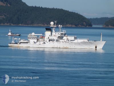
USNS BOWDITCH
Research/Survey Vessel
Current Trip
Unknown
| Time Travelled | 4 days |
|---|---|
| Remaining Time | --- |
| Distance Travelled | 484.57 nm |
| Remaining Distance | --- |
| AVG Speed | 6.4 Noeuds |
| MAX Speed | 12.2 Noeuds |
| AVG Wind | 15.7 knots |
| MAX Wind | 27 knots |
| MIN Temp | 17°C / 62.6°F |
| MAX Temp | 26.2°C / 79.16°F |
| Tirant d eau | 6.1 m |
| Position reçue | 47 m depuis |
Current Position
| Longitude | --- |
|---|---|
| Latitude | --- |
| Etat | Restricted manoeuverability |
| Vitesse | 8.1 Noeuds |
| Parcours | 29.5° |
| Zone | Japan Sea |
| Station | T-AIS |
| Position reçue | 47 m depuis |
Info
Information
The current position of USNS BOWDITCH is in Japan Sea with coordinates 36.29827° / 129.58737° as reported on 2024-10-03 10:18 by AIS to our vessel tracker app. The vessel's current speed is 8.1 Noeuds
The vessel USNS BOWDITCH (IMO: 9075216, MMSI: 367955000) is a Research/Survey Vessel that was built in 1996 ( 28 Age ). It's sailing under the flag of [US] USA.
In this page you can find informations about the vessels current position, last detected port calls, and current voyage information. If the vessels is not in coverage by AIS you will find the latest position.
The current position of USNS BOWDITCH is detected by our AIS receivers and we are not responsible for the reliability of the data. The last position was recorded while the vessel was in Coverage by the Ais receivers of our vessel tracking app.
The current draught of USNS BOWDITCH as reported by AIS is 6.1 meters
Weather
| Temperature | 19.2°C / 66.56°F |
|---|---|
| Wind Speed | 22 knots |
| Direction | 12° NNE |
| Pressure | 1020.4 hPa |
| Humidity | 75.3 % |
| Cloud Coverage | 100 % |
Featured Company
Events
| Heure | Evenement | Détails | Position/ Destination | Info |
|---|---|---|---|---|
| 2024-10-03 10:27 | Etat Changé | Default Restricted manoeuverability |
36.31382 / 129.59940
|
Vitesse: 8.1 kn Parcours: 29.5° |
| 2024-10-03 10:13 | Etat Changé | Restricted manoeuverability Default |
36.28842 / 129.57985
|
Vitesse: 8.5 kn Parcours: 30° |
| 2024-10-03 10:06 | Etat Changé | Default Restricted manoeuverability |
36.27334 / 129.56824
|
Vitesse: 8.3 kn Parcours: 24.6° |
| 2024-10-03 00:01 | Démarrage | 16.03 nm, North East of POHANG |
36.25938 / 129.56165
|
Vitesse: 5.1 kn Parcours: 58.6° |
| 2024-10-02 20:17 | Arret | 15.77 nm, North East of POHANG |
36.24147 / 129.58907
|
Vitesse: 0.3 kn Parcours: 45° |
| 2024-10-02 19:52 | Etat Changé | Restricted manoeuverability Default |
36.26408 / 129.58407
|
Vitesse: 7.4 kn Parcours: 173° |
| 2024-10-02 19:52 | Dans la zone couverte |
36.26408 / 129.58407
Japan Sea
|
Vitesse: 7.3 kn Parcours: 175° |
|
| 2024-10-02 15:46 | Etat Changé | Default Restricted manoeuverability |
36.26932 / 129.58527
|
Vitesse: 6.7 kn Parcours: 0.8° |
| 2024-10-02 15:36 | Hors de la zone couverte |
36.24605 / 129.58900
Japan Sea
|
Vitesse: 6.7 kn Parcours: 0.8° |
|
| 2024-10-02 15:08 | Etat Changé | Restricted manoeuverability Default |
36.29678 / 129.58280
|
Vitesse: 8.1 kn Parcours: 175° |