
SPERO INVIDIAM
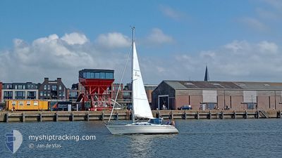
Sailing
Current Trip
Unknown
| Time Travelled | 11 h, 38 mins |
|---|---|
| Remaining Time | --- |
| Distance Travelled | 1.77 nm |
| Remaining Distance | --- |
| AVG Speed | 3.7 Noeuds |
| MAX Speed | 3.8 Noeuds |
| AVG Wind | 6.6 knots |
| MAX Wind | 6.9 knots |
| MIN Temp | 8.9°C / 48.02°F |
| MAX Temp | 9.7°C / 49.46°F |
| Tirant d eau | --- |
| Position reçue | 10 h, 20 m depuis |
Current Position
| Longitude | 4.56711° |
|---|---|
| Latitude | 52.24629° |
| Etat | Default |
| Vitesse | |
| Parcours | --- |
| Zone | North Sea |
| Station | T-AIS |
| Position reçue | 10 h, 20 m depuis |
Info
Information
The current position of SPERO INVIDIAM is in North Sea with coordinates 52.24629° / 4.56711° as reported on 2024-04-27 11:54 by AIS to our vessel tracker app. The vessel's current speed is 0 Noeuds
The vessel SPERO INVIDIAM (MMSI: 244890192) is a Sailing It's sailing under the flag of [NL] Netherlands.
In this page you can find informations about the vessels current position, last detected port calls, and current voyage information. If the vessels is not in coverage by AIS you will find the latest position.
The current position of SPERO INVIDIAM is detected by our AIS receivers and we are not responsible for the reliability of the data. The last position was recorded while the vessel was in Coverage by the Ais receivers of our vessel tracking app.
Weather
| Temperature | 9.1°C / 48.38°F |
|---|---|
| Wind Speed | 7 knots |
| Direction | 161° SSE |
| Pressure | 1005 hPa |
| Humidity | 95.2 % |
| Cloud Coverage | 100 % |
Featured Company
Events
| Heure | Evenement | Détails | Position/ Destination | Info |
|---|---|---|---|---|
| 2024-04-27 11:54 | Hors de la zone couverte |
52.24629 / 4.56711
North Sea
|
Vitesse: Parcours: 69.1° |
|
| 2024-04-27 11:19 | Arret | 1.78 nm, North East of JONKMAN |
52.24634 / 4.56710
|
Vitesse: Parcours: 511° |
| 2024-04-27 10:37 | PORT DE DEPART |
|
52.27085 / 4.57234
|
Vitesse: 3.7 kn Parcours: 224° |
| 2024-04-27 10:37 | Démarrage |
52.27157 / 4.57360
[NL] HILLEGOM
|
Vitesse: 3.7 kn Parcours: 224° |
|
| 2024-04-27 10:24 | Dans la zone couverte |
52.27340 / 4.57653
North Sea
[NL] HILLEGOM
|
Vitesse: Parcours: 511° |
|
| 2024-04-26 18:29 | Hors de la zone couverte |
52.27340 / 4.57652
North Sea
[NL] HILLEGOM
|
Vitesse: Parcours: 290.3° |
|
| 2024-04-26 18:02 | Arret |
52.27341 / 4.57654
[NL] HILLEGOM
|
Vitesse: Parcours: 511° |
|
| 2024-04-26 17:46 | Port d'arrivée |
|
52.27332 / 4.57667
[NL] HILLEGOM
|
Vitesse: 0.6 kn Parcours: 511° |
| 2024-04-26 17:03 | Démarrage | 0.35 nm, North East of JONKMAN |
52.22327 / 4.55324
|
Vitesse: 4.5 kn Parcours: 332.6° |
| 2024-04-26 16:10 | Arret | 0.35 nm, East of JONKMAN |
52.22149 / 4.55474
|
Vitesse: Parcours: 511° |