
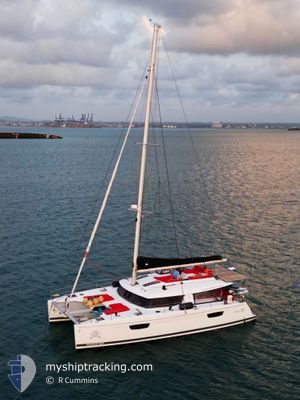
SABRE II
Pleasure Craft
Current Position
| Longitude | 177.38297° |
|---|---|
| Latitude | -17.77269° |
| Etat | Default |
| Vitesse | 0.5 Noeuds |
| Parcours | --- |
| Zone | South Pacific Ocean |
| Station | T-AIS |
| Position reçue | 3 m depuis |
Info
Information
The current position of SABRE II is in South Pacific Ocean with coordinates -17.77269° / 177.38297° as reported on 2024-06-16 22:42 by AIS to our vessel tracker app. The vessel's current speed is 0.5 Noeuds and is currently inside the port of DENARAU.
The vessel SABRE II (MMSI: 368263310) is a Pleasure Craft It's sailing under the flag of [US] USA.
In this page you can find informations about the vessels current position, last detected port calls, and current voyage information. If the vessels is not in coverage by AIS you will find the latest position.
The current position of SABRE II is detected by our AIS receivers and we are not responsible for the reliability of the data. The last position was recorded while the vessel was in Coverage by the Ais receivers of our vessel tracking app.
Weather
| Temperature | 24.3°C / 75.74°F |
|---|---|
| Wind Speed | --- |
| Direction | 247° WSW |
| Pressure | 1015 hPa |
| Humidity | 89.4 % |
| Cloud Coverage | 100 % |
Featured Company
Most Visited Ports (Last year)
| Port | Arrivals | |
|---|---|---|
| 10 | ||
| 3 | ||
| 2 | ||
| 2 | ||
| 1 | ||
| 1 |
Events
| Heure | Evenement | Détails | Position/ Destination | Info |
|---|---|---|---|---|
| 2024-06-14 00:43 | Arret |
-17.77309 / 177.38297
[FJ] DENARAU
|
Vitesse: 0.2 kn Parcours: 511° |
|
| 2024-06-14 00:37 | Port d'arrivée |
|
-17.76818 / 177.38755
[FJ] DENARAU
|
Vitesse: 6.5 kn Parcours: 162.8° |
| 2024-06-14 00:00 | Dans la zone couverte |
-17.75089 / 177.37387
South Pacific Ocean
|
Vitesse: 6.2 kn Parcours: 120.9° |
|
| 2024-06-13 03:10 | Hors de la zone couverte |
-17.79172 / 177.20571
South Pacific Ocean
|
Vitesse: 6.1 kn Parcours: 278.8° |
|
| 2024-06-13 02:03 | Dans la zone couverte |
-17.70105 / 177.21803
South Pacific Ocean
|
Vitesse: 6.8 kn Parcours: 169° |
|
| 2024-06-10 22:07 | Hors de la zone couverte |
-16.99355 / 177.26358
South Pacific Ocean
|
Vitesse: 5.2 kn Parcours: 217.5° |
|
| 2024-06-10 20:07 | Démarrage | 3.04 nm, North of TURTLE ISLAND |
-16.91213 / 177.38107
B 2 A
|
Vitesse: 6.1 kn Parcours: 276.8° |
| 2024-06-10 19:58 | Dans la zone couverte |
-16.91357 / 177.38426
South Pacific Ocean
|
Vitesse: 0.1 kn Parcours: 511° |
|
| 2024-06-09 04:35 | Hors de la zone couverte |
-16.84568 / 177.46649
South Pacific Ocean
|
Vitesse: 0.4 kn Parcours: 511° |
|
| 2024-06-09 01:17 | Dans la zone couverte |
-16.84560 / 177.46651
South Pacific Ocean
|
Vitesse: 0.2 kn Parcours: 511° |