
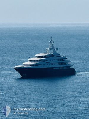
FREEDOM
Not available
Current Trip
BS ELEUTHERA
| Time Travelled | 44 days |
|---|---|
| Remaining Time | --- |
| Distance Travelled | 1020.50 nm |
| Remaining Distance | --- |
| AVG Speed | 7.4 Noeuds |
| MAX Speed | 13.3 Noeuds |
| AVG Wind | 12.5 knots |
| MAX Wind | 24.7 knots |
| MIN Temp | 21.3°C / 70.34°F |
| MAX Temp | 26.3°C / 79.34°F |
| Tirant d eau | 3 m |
| Position reçue | 23 h, 22 m depuis |
Current Position
| Longitude | --- |
|---|---|
| Latitude | --- |
| Etat | Moored |
| Vitesse | |
| Parcours | 357° |
| Zone | North Atlantic Ocean |
| Station | T-AIS |
| Position reçue | 23 h, 22 m depuis |
Info
Information
The current position of FREEDOM is in North Atlantic Ocean with coordinates 25.00296° / -77.50774° as reported on 2025-03-15 13:21 by AIS to our vessel tracker app. The vessel's current speed is 0 Noeuds
The vessel FREEDOM (MMSI: 319107000) is a Not available It's sailing under the flag of [KY] Cayman Is.
In this page you can find informations about the vessels current position, last detected port calls, and current voyage information. If the vessels is not in coverage by AIS you will find the latest position.
The current position of FREEDOM is detected by our AIS receivers and we are not responsible for the reliability of the data. The last position was recorded while the vessel was in Coverage by the Ais receivers of our vessel tracking app.
The current draught of FREEDOM as reported by AIS is 3 meters
Weather
| Temperature | 23.5°C / 74.3°F |
|---|---|
| Wind Speed | 14 knots |
| Direction | 117° ESE |
| Pressure | 1016.4 hPa |
| Humidity | 68.7 % |
| Cloud Coverage | 2 % |
Featured Company
Events
| Heure | Evenement | Détails | Position/ Destination | Info |
|---|---|---|---|---|
| 2025-03-15 13:21 | Hors de la zone couverte |
25.00296 / -77.50774
North Atlantic Ocean
|
Vitesse: Parcours: 153° |
|
| 2025-03-15 12:03 | Dans la zone couverte |
25.00295 / -77.50774
North Atlantic Ocean
|
Vitesse: Parcours: 337° |
|
| 2025-03-14 13:08 | Hors de la zone couverte |
25.16248 / -77.38446
North Atlantic Ocean
|
Vitesse: 11.5 kn Parcours: 237.8° |
|
| 2025-03-14 10:44 | Dans la zone couverte |
25.41725 / -76.96807
North Atlantic Ocean
|
Vitesse: 11.9 kn Parcours: 240° |
|
| 2025-03-14 03:11 | Hors de la zone couverte |
25.48295 / -76.88371
North Atlantic Ocean
|
Vitesse: Parcours: 342.8° |
|
| 2025-03-13 14:46 | Arret |
25.48239 / -76.88368
BS ELEUTHERA
|
Vitesse: Parcours: 63° |
|
| 2025-03-13 11:17 | Dans la zone couverte |
25.43601 / -76.40940
North Atlantic Ocean
|
Vitesse: 11 kn Parcours: 303° |
|
| 2025-03-13 07:52 | Hors de la zone couverte |
24.91304 / -76.06349
North Atlantic Ocean
|
Vitesse: 11 kn Parcours: 357.4° |
|
| 2025-03-13 07:23 | Dans la zone couverte |
24.82328 / -76.06288
North Atlantic Ocean
|
Vitesse: 11.2 kn Parcours: 0° |
|
| 2025-03-13 04:53 | Hors de la zone couverte |
24.45423 / -76.26479
North Atlantic Ocean
|
Vitesse: 11.1 kn Parcours: 57.2° |