

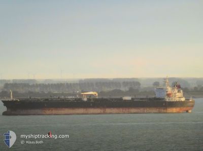
ALIGOTE
Oil/Chemical Tanker

Current Trip
GUANGZHOU
| Time Travelled | --- |
|---|---|
| Remaining Time | --- |
| Distance Travelled | 6743.36 nm |
| Remaining Distance | --- |
| AVG Speed | 10.4 Noeuds |
| MAX Speed | 14.1 Noeuds |
| AVG Wind | 10.5 knots |
| MAX Wind | 26.8 knots |
| MIN Temp | 12.1°C / 53.78°F |
| MAX Temp | 28.6°C / 83.48°F |
| Tirant d eau | 8.5 m |
| Position reçue | 8 d depuis |
Current Position
| Longitude | --- |
|---|---|
| Latitude | --- |
| Etat | Under way using engine |
| Vitesse | 11.8 Noeuds |
| Parcours | 338.8° |
| Zone | South China Sea |
| Station | T-AIS |
| Position reçue | 8 d depuis |
Information
The current position of ALIGOTE is in South China Sea with coordinates 22.55333° / 113.72697° as reported on 2025-03-16 03:03 by AIS to our vessel tracker app. The vessel's current speed is 11.8 Noeuds
The vessel ALIGOTE (IMO: 9440497, MMSI: 538003857) is a Oil/Chemical Tanker that was built in 2010 ( 15 Age ). It's sailing under the flag of [MH] Marshall Is.
In this page you can find informations about the vessels current position, last detected port calls, and current voyage information. If the vessels is not in coverage by AIS you will find the latest position.
The current position of ALIGOTE is detected by our AIS receivers and we are not responsible for the reliability of the data. The last position was recorded while the vessel was in Coverage by the Ais receivers of our vessel tracking app.
The current draught of ALIGOTE as reported by AIS is 8.5 meters
Weather
| Temperature | 26.6°C / 79.88°F |
|---|---|
| Wind Speed | 2 knots |
| Direction | 189° S |
| Pressure | 1012.6 hPa |
| Humidity | 31.8 % |
| Cloud Coverage | --- |


Featured Company
Most Visited Ports (Last year)
| Port | Arrivals | |
|---|---|---|
| 2 | ||
| 2 | ||
| 2 | ||
| 2 | ||
| 2 | ||
| 2 |
Last Trips
| Origin | Departure | Destination | Arrival | Distance | |
|---|---|---|---|---|---|
| 2024-12-29 21:13 | 2025-01-09 21:34 | 175.35 nm |
Events
| Heure | Evenement | Détails | Position/ Destination | Info |
|---|---|---|---|---|
| 2025-03-18 23:17 | Arret | 1.28 nm, South West of HUANGPU |
23.03716 / 113.51849
GUANGZHOU
|
Vitesse: Parcours: 17° |
| 2025-03-18 22:50 | Démarrage | 0.59 nm, South West of HUANGPU |
23.04759 / 113.52367
GUANGZHOU
|
Vitesse: 3.7 kn Parcours: 58° |
| 2025-03-16 06:42 | Arret | 0.42 nm, South of HUANGPU |
23.04923 / 113.52792
GUANGZHOU
|
Vitesse: 0.3 kn Parcours: 57° |
| 2025-03-16 03:10 | Etat Changé | Default Under way using engine |
22.57412 / 113.71827
GUANGZHOU
|
Vitesse: 11.8 kn Parcours: 338.8° |
| 2025-03-16 03:03 | Hors de la zone couverte |
22.55333 / 113.72697
South China Sea
|
Vitesse: 11.8 kn Parcours: 338.8° |
|
| 2025-03-16 03:03 | Etat Changé | Under way using engine Default |
22.55281 / 113.72719
GUANGZHOU
|
Vitesse: 11.7 kn Parcours: 344° |
| 2025-03-16 03:01 | Etat Changé | Default Under way using engine |
22.54814 / 113.72895
GUANGZHOU
|
Vitesse: 11.6 kn Parcours: 342.2° |
| 2025-03-16 02:52 | Etat Changé | Under way using engine Default |
22.51925 / 113.73916
GUANGZHOU
|
Vitesse: 11.5 kn Parcours: 343° |
| 2025-03-16 02:45 | Etat Changé | Default Under way using engine |
22.49821 / 113.74663
GUANGZHOU
|
Vitesse: 11.4 kn Parcours: 350.3° |
| 2025-03-16 02:37 | Etat Changé | Under way using engine Default |
22.47202 / 113.75307
GUANGZHOU
|
Vitesse: 11.5 kn Parcours: 352° |