

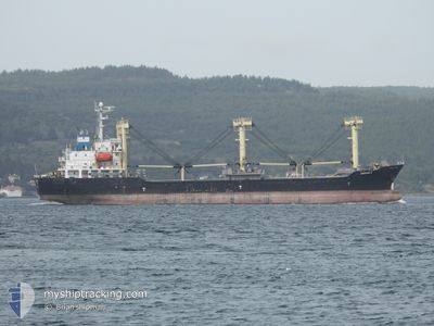
ABOUDI D
General Cargo

Current Trip
| Time Travelled | 31 days |
|---|---|
| Remaining Time | --- |
| Distance Travelled | 1412.37 nm |
| Remaining Distance | --- |
| AVG Speed | 9.9 Noeuds |
| MAX Speed | 12.3 Noeuds |
| AVG Wind | 9.6 knots |
| MAX Wind | 24.7 knots |
| MIN Temp | 2.7°C / 36.86°F |
| MAX Temp | 24°C / 75.2°F |
| Tirant d eau | 5 m |
| Position reçue | 3 d depuis |
Current Position
| Longitude | --- |
|---|---|
| Latitude | --- |
| Etat | Under way using engine |
| Vitesse | 10.2 Noeuds |
| Parcours | 322.4° |
| Zone | Black Sea |
| Station | T-AIS |
| Position reçue | 3 d depuis |
Information
The current position of ABOUDI D is in Black Sea with coordinates 41.49821° / 29.01514° as reported on 2025-03-24 18:31 by AIS to our vessel tracker app. The vessel's current speed is 10.2 Noeuds
The vessel ABOUDI D (IMO: 9385817, MMSI: 341206001) is a General Cargo that was built in 2007 ( 18 Age ). It's sailing under the flag of [KN] St Kitts Nevis.
In this page you can find informations about the vessels current position, last detected port calls, and current voyage information. If the vessels is not in coverage by AIS you will find the latest position.
The current position of ABOUDI D is detected by our AIS receivers and we are not responsible for the reliability of the data. The last position was recorded while the vessel was in Coverage by the Ais receivers of our vessel tracking app.
The current draught of ABOUDI D as reported by AIS is 5 meters
Weather
| Temperature | 8.3°C / 46.94°F |
|---|---|
| Wind Speed | 11 knots |
| Direction | 39° NE |
| Pressure | 1013.9 hPa |
| Humidity | 89.9 % |
| Cloud Coverage | 100 % |


Featured Company
Last Port Calls
| Port | Arrival | Departure | Time In Port |
|---|---|---|---|
| 2025-02-20 00:18 | 2025-02-24 21:54 | 4 d | |
| 2025-02-09 04:38 | 2025-02-09 15:07 | 10 h | |
| 2025-01-01 21:49 |
Last Trips
| Origin | Departure | Destination | Arrival | Distance | |
|---|---|---|---|---|---|
| 2025-02-09 15:07 | 2025-02-20 00:18 | 13.04 nm | |||
| 2025-01-01 21:49 | 2025-02-09 04:38 | 2305.01 nm |
Events
| Heure | Evenement | Détails | Position/ Destination | Info |
|---|---|---|---|---|
| 2025-03-25 17:34 | Arret | 8.22 nm, South East of SULINA |
45.09030 / 29.81648
CONSTANTA
|
Vitesse: 0.1 kn Parcours: 151° |
| 2025-03-24 18:36 | Etat Changé | Default Under way using engine |
41.51055 / 29.00246
CONSTANTA
|
Vitesse: 10.2 kn Parcours: 322.4° |
| 2025-03-24 18:31 | Hors de la zone couverte |
41.49821 / 29.01514
Black Sea
|
Vitesse: 10.2 kn Parcours: 322.4° |
|
| 2025-03-24 16:43 | Etat Changé | Under way using engine At anchor |
41.26895 / 29.17572
CONSTANTA
|
Vitesse: 11.4 kn Parcours: 41.3° |
| 2025-03-24 16:31 | Changement de zone | Turkish part of the Black Sea Turkish part of the Sea of Marmara |
41.23938 / 29.14766
Black Sea
|
Vitesse: 11 kn Parcours: 31.3° |
| 2025-03-24 13:25 | Démarrage | 1.57 nm, South of ZEYTINBURNU |
40.95401 / 28.90335
CONSTANTA
|
Vitesse: 3.2 kn Parcours: 179° |
| 2025-03-21 09:03 | Etat Changé | At anchor Default |
40.95577 / 28.89887
CONSTANTA
|
Vitesse: 0.1 kn Parcours: 87° |
| 2025-03-21 09:00 | Etat Changé | Default At anchor |
40.95586 / 28.89885
CONSTANTA
|
Vitesse: 0.1 kn Parcours: 77° |