
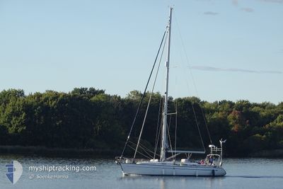
YEMAYA
Sailing
Current Trip
| Trip Time | 6 h, 38 mins |
|---|---|
| Trip Distance | 38.48 nm |
| AVG Speed | 5.9 Knots |
| MAX Speed | 7.1 Knots |
| Dybgang | --- |
| AVG Wind | 7.4 knots |
| MAX Wind | 9.9 knots |
| MIN Temp | 12.9°C / 55.22°F |
| MAX Temp | 16.3°C / 61.34°F |
| Position Modtaget | 3 m siden |
Current Position
| Longitude | 2.73858° |
|---|---|
| Latitude | 51.14294° |
| Status | Default |
| Fart | |
| Kurs | --- |
| Område | North Sea |
| Station | T-AIS |
| Position Modtaget | 3 m siden |
Info
Information
The current position of YEMAYA is in North Sea with coordinates 51.14294° / 2.73858° as reported on 2024-05-20 14:41 by AIS to our vessel tracker app. The vessel's current speed is 0 Knots and is currently inside the port of NIEUWPOORT.
The vessel YEMAYA (MMSI: 265797320) is a Sailing It's sailing under the flag of [SE] Sweden.
In this page you can find informations about the vessels current position, last detected port calls, and current voyage information. If the vessels is not in coverage by AIS you will find the latest position.
The current position of YEMAYA is detected by our AIS receivers and we are not responsible for the reliability of the data. The last position was recorded while the vessel was in Coverage by the Ais receivers of our vessel tracking app.
Weather
| Temperature | 13.2°C / 55.76°F |
|---|---|
| Wind Speed | 13 knots |
| Direction | 14° NNE |
| Pressure | 1011.8 hPa |
| Humidity | 87.5 % |
| Cloud Coverage | 60 % |
Featured Company
Last Port Calls
| Port | Arrival | Departure | Time In Port |
|---|---|---|---|
| 2024-05-17 17:02 | |||
| 2024-05-17 10:24 | |||
| 2024-05-13 18:58 | 2024-05-14 16:28 | 21 h | |
| 2024-05-05 15:02 | 2024-05-09 07:01 | 3 d | |
| 2024-05-05 11:22 |
Last Trips
| Origin | Departure | Destination | Arrival | Distance | |
|---|---|---|---|---|---|
| 2024-05-17 10:24 | 2024-05-17 17:02 | 38.48 nm | |||
| 2024-05-09 07:01 | 2024-05-13 18:58 | 99.07 nm | |||
| 2024-05-05 11:22 | 2024-05-05 15:02 | 18.75 nm |
Events
| Tid | Hændelsen | Detaljer | Position / Dest | Info |
|---|---|---|---|---|
| 2024-05-17 15:21 | STOP Sejllads |
51.14094 / 2.74047
[BE] NIEUWPOORT
|
Fart: 0.3 kn Kurs: 511° |
|
| 2024-05-17 15:02 | Skibe i havn |
|
51.15277 / 2.72357
[BE] NIEUWPOORT
|
Fart: 4.6 kn Kurs: 129.3° |
| 2024-05-17 13:34 | Ændre havområde | Belgian part of the North Sea French part of the North Sea |
51.12135 / 2.52421
North Sea
|
Fart: 6.4 kn Kurs: 48.2° |
| 2024-05-17 08:24 | Ændre havområde | French part of the North Sea French part of the English Channel |
50.97231 / 1.83668
North Sea
|
Fart: 6.2 kn Kurs: 294.1° |
| 2024-05-17 08:24 | Afsejlet fra sidste havn |
|
50.97231 / 1.83668
|
Fart: 6.3 kn Kurs: 283.8° |
| 2024-05-17 08:17 | START Sejllads |
50.96433 / 1.84949
[FR] CALAIS
|
Fart: 5.4 kn Kurs: 324.8° |
|
| 2024-05-17 05:37 | Indenfor Dækning |
50.96196 / 1.84607
English Channel
[FR] CALAIS
|
Fart: Kurs: 238.1° |
|
| 2024-05-17 04:01 | Udenfor Dækning |
50.96193 / 1.84609
English Channel
[FR] CALAIS
|
Fart: Kurs: 238.1° |
|
| 2024-05-17 02:43 | Indenfor Dækning |
50.96194 / 1.84608
English Channel
[FR] CALAIS
|
Fart: Kurs: 128.6° |
|
| 2024-05-17 01:13 | Udenfor Dækning |
50.96194 / 1.84609
English Channel
[FR] CALAIS
|
Fart: Kurs: 128.6° |