

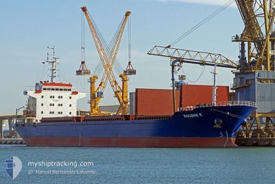
OCEAN PERA
Cargo

Current Trip
AE FJR ANC
| Time Travelled | 1 day |
|---|---|
| Remaining Time | --- |
| Distance Travelled | 347.48 nm |
| Remaining Distance | --- |
| AVG Speed | 12.6 Knots |
| MAX Speed | 13.7 Knots |
| AVG Wind | 12.8 knots |
| MAX Wind | 20.3 knots |
| MIN Temp | 17.6°C / 63.68°F |
| MAX Temp | 23°C / 73.4°F |
| Dybgang | 12.7 m |
| Position Modtaget | 11 m siden |
Current Position
| Longitude | --- |
|---|---|
| Latitude | --- |
| Status | Under way using engine |
| Fart | 12.3 Knots |
| Kurs | 69.8° |
| Område | Persian Gulf |
| Station | T-AIS |
| Position Modtaget | 11 m siden |
Information
The current position of OCEAN PERA is in Persian Gulf with coordinates 26.29238° / 55.85526° as reported on 2025-02-18 12:59 by AIS to our vessel tracker app. The vessel's current speed is 12.3 Knots
The vessel OCEAN PERA (IMO: 9712955, MMSI: 256978000) is a Cargo It's sailing under the flag of [MT] Malta.
In this page you can find informations about the vessels current position, last detected port calls, and current voyage information. If the vessels is not in coverage by AIS you will find the latest position.
The current position of OCEAN PERA is detected by our AIS receivers and we are not responsible for the reliability of the data. The last position was recorded while the vessel was in Coverage by the Ais receivers of our vessel tracking app.
The current draught of OCEAN PERA as reported by AIS is 12.7 meters
Weather
| Temperature | 22.8°C / 73.04°F |
|---|---|
| Wind Speed | 13 knots |
| Direction | 237° WSW |
| Pressure | 1013.8 hPa |
| Humidity | 79.6 % |
| Cloud Coverage | 100 % |


Featured Company
Last Trips
Events
| Tid | Hændelsen | Detaljer | Position / Dest | Info |
|---|---|---|---|---|
| 2025-02-18 13:05 | Status er ændret | Default Under way using engine |
26.29933 / 55.87705
AE FJR ANC
|
Fart: 12.3 kn Kurs: 69.8° |
| 2025-02-18 12:44 | Fundet i havområde | Omani part of the Persian Gulf |
26.27878 / 55.80114
Persian Gulf
AE FJR ANC
|
Fart: 12.3 kn Kurs: 75.9° |
| 2025-02-18 10:59 | Status er ændret | Under way using engine Default |
26.15097 / 55.42112
AE FJR ANC
|
Fart: 12.6 kn Kurs: 70° |
| 2025-02-18 10:50 | Status er ændret | Default Under way using engine |
26.14004 / 55.38649
AE FJR ANC
|
Fart: 12.6 kn Kurs: 69.5° |
| 2025-02-18 10:11 | Status er ændret | Under way using engine Default |
26.11681 / 55.24016
AE FJR ANC
|
Fart: 12.9 kn Kurs: 97° |
| 2025-02-18 10:06 | Status er ændret | Default Under way using engine |
26.11936 / 55.21696
AE FJR ANC
|
Fart: 12.9 kn Kurs: 96.7° |
| 2025-02-18 08:58 | Dybgangen er ændret | 12.7 6.9 |
26.14286 / 54.93830
AE FJR ANC
|
Fart: 13.5 kn Kurs: 93.8° |
| 2025-02-18 08:58 | Destination er ændret | AE FJR ANC SA JUB |
26.14286 / 54.93830
AE FJR ANC
|
Fart: 13.5 kn Kurs: 93.8° |
| 2025-02-18 08:58 | ETA er ændret | 2025/02/19 00:00 2025/02/07 21:50 |
26.14286 / 54.93830
AE FJR ANC
|
Fart: 13.5 kn Kurs: 93.8° |
| 2025-02-18 08:45 | Status er ændret | Under way using engine Default |
26.14580 / 54.88618
SA JUB
|
Fart: 13.3 kn Kurs: 94° |