
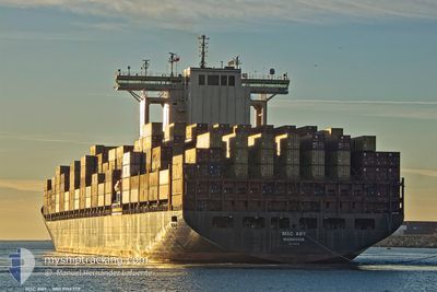
MSC ABY
Container Ship
Current Trip
CIABJ
| Time Travelled | 11 days |
|---|---|
| Remaining Time | --- |
| Distance Travelled | 312.87 nm |
| Remaining Distance | --- |
| AVG Speed | 15.6 Knots |
| MAX Speed | 20 Knots |
| AVG Wind | 10.8 knots |
| MAX Wind | 16 knots |
| MIN Temp | 26.3°C / 79.34°F |
| MAX Temp | 28°C / 82.4°F |
| Dybgang | 15.3 m |
| Position Modtaget | 18 d siden |
Current Position
| Longitude | --- |
|---|---|
| Latitude | --- |
| Status | Under way using engine |
| Fart | 14.7 Knots |
| Kurs | 332.1° |
| Område | South Atlantic Ocean |
| Station | T-AIS |
| Position Modtaget | 18 d siden |
Info
Information
The current position of MSC ABY is in South Atlantic Ocean with coordinates -28.77367° / 14.79750° as reported on 2025-12-15 15:36 by AIS to our vessel tracker app. The vessel's current speed is 14.7 Knots
The vessel MSC ABY (IMO: 9166778, MMSI: 636020730) is a Container Ship that was built in 1999 ( 27 år gamle ). It's sailing under the flag of [LR] Liberia.
In this page you can find informations about the vessels current position, last detected port calls, and current voyage information. If the vessels is not in coverage by AIS you will find the latest position.
The current position of MSC ABY is detected by our AIS receivers and we are not responsible for the reliability of the data. The last position was recorded while the vessel was in Coverage by the Ais receivers of our vessel tracking app.
The current draught of MSC ABY as reported by AIS is 15.3 meters
Weather
| Temperature | 26.5°C / 79.7°F |
|---|---|
| Wind Speed | 9 knots |
| Direction | 217° SW |
| Pressure | 1013.1 hPa |
| Humidity | 82.8 % |
| Cloud Coverage | 60 % |
Featured Company
Last Port Calls
| Port | Arrival | Departure | Time In Port |
|---|---|---|---|
| 2025-12-21 16:52 | 2025-12-22 17:08 | 1 d | |
| 2025-12-01 19:19 | 2025-12-03 10:39 | 1 d | |
| 2025-11-29 14:27 | 2025-11-30 17:43 | 1 d | |
| 2025-11-23 14:37 | 2025-11-24 21:53 | 1 d | |
| 2025-11-22 03:17 | 2025-11-22 22:34 | 19 h | |
| 2025-11-19 12:46 | 2025-11-21 15:38 | 2 d | |
| 2025-11-07 02:17 | 2025-11-09 15:47 | 2 d | |
| 2025-11-01 10:05 |
Most Visited Ports (Last year)
| Port | Arrivals | |
|---|---|---|
| 7 | ||
| 7 | ||
| 6 | ||
| 6 | ||
| 6 | ||
| 5 |
Last Trips
| Origin | Departure | Destination | Arrival | Distance | |
|---|---|---|---|---|---|
| 2025-12-03 10:39 | 2025-12-21 16:52 | 7367.54 nm | |||
| 2025-11-30 17:43 | 2025-12-01 19:19 | 411.71 nm | |||
| 2025-11-24 21:53 | 2025-11-29 14:27 | 1138.68 nm | |||
| 2025-11-22 22:34 | 2025-11-23 14:37 | 260.55 nm | |||
| 2025-11-21 15:38 | 2025-11-22 03:17 | 50.63 nm | |||
| 2025-11-09 15:47 | 2025-11-19 12:46 | 3911.57 nm | |||
| 2025-11-01 10:05 | 2025-11-07 02:17 | 1662.74 nm |
Events
| Tid | Hændelsen | Detaljer | Position / Dest | Info |
|---|---|---|---|---|
| 2025-12-29 08:24 | STOP Sejllads | 4.12 nm, South East of TEMA |
5.56693 / .04308
CIABJ
|
Fart: 0.3 kn Kurs: 238° |
| 2025-12-29 07:23 | START Sejllads | 1.28 nm, South West of TEMA |
5.61393 / -.00046
CIABJ
|
Fart: 4.1 kn Kurs: 82° |
| 2025-12-28 16:46 | STOP Sejllads | 1.42 nm, South West of TEMA |
5.61625 / -.00530
CIABJ
|
Fart: 0.3 kn Kurs: 247° |
| 2025-12-28 13:01 | START Sejllads | 4.53 nm, South East of TEMA |
5.56716 / .05722
CIABJ
|
Fart: 3.4 kn Kurs: 261° |