

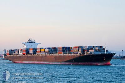
MAERSK SANA
Container Ship

Current Trip
| Time Travelled | 10 days |
|---|---|
| Remaining Time | 6 days |
| Distance Travelled | 4269.39 nm |
| Remaining Distance | 2816.86 nm |
| AVG Speed | 16.6 Knots |
| MAX Speed | 19.1 Knots |
| AVG Wind | 17.7 knots |
| MAX Wind | 36 knots |
| MIN Temp | 0.1°C / 32.18°F |
| MAX Temp | 12.3°C / 54.14°F |
| Dybgang | 13.4 m |
| Position Modtaget | 7 d siden |
Current Position
| Longitude | --- |
|---|---|
| Latitude | --- |
| Status | Under way using engine |
| Fart | 17.1 Knots |
| Kurs | 82.3° |
| Område | North Pacific Ocean |
| Station | T-AIS |
| Position Modtaget | 7 d siden |
Information
The current position of MAERSK SANA is in North Pacific Ocean with coordinates 41.63922° / 141.98855° as reported on 2025-03-22 02:35 by AIS to our vessel tracker app. The vessel's current speed is 17.1 Knots and is heading at the port of LAZARO CARDENAS. The estimated time of arrival as calculated by MyShipTracking vessel tracking app is 2025-04-05 17:21 LT
The vessel MAERSK SANA (IMO: 9289922, MMSI: 563000400) is a Container Ship that was built in 2004 ( 21 år gamle ). It's sailing under the flag of [SG] Singapore.
In this page you can find informations about the vessels current position, last detected port calls, and current voyage information. If the vessels is not in coverage by AIS you will find the latest position.
The current position of MAERSK SANA is detected by our AIS receivers and we are not responsible for the reliability of the data. The last position was recorded while the vessel was in Coverage by the Ais receivers of our vessel tracking app.
The current draught of MAERSK SANA as reported by AIS is 13.4 meters
Weather
| Temperature | 6°C / 42.8°F |
|---|---|
| Wind Speed | 14 knots |
| Direction | 285° WNW |
| Pressure | 1007.8 hPa |
| Humidity | 63.7 % |
| Cloud Coverage | 93 % |


Featured Company
Most Visited Ports (Last year)
| Port | Arrivals | |
|---|---|---|
| 3 | ||
| 3 | ||
| 3 | ||
| 3 | ||
| 3 | ||
| 3 |
Events
| Tid | Hændelsen | Detaljer | Position / Dest | Info |
|---|---|---|---|---|
| 2025-03-26 19:07 | START Sejllads |
47.42112 / -175.43602
CN SGH>MX LZC
|
Fart: 3.7 kn Kurs: 298° |
|
| 2025-03-26 18:38 | STOP Sejllads |
47.42299 / -175.43089
CN SGH>MX LZC
|
Fart: 0.2 kn Kurs: 221° |
|
| 2025-03-22 02:42 | Status er ændret | Default Under way using engine |
41.64402 / 142.03143
CN SGH>MX LZC
|
Fart: 17.1 kn Kurs: 82.3° |
| 2025-03-22 02:35 | Udenfor Dækning |
41.63922 / 141.98855
North Pacific Ocean
CN SGH>MX LZC
|
Fart: 17.1 kn Kurs: 82.3° |
|
| 2025-03-22 00:50 | Ændre havområde | Japanese part of the North Pacific Ocean Japanese part of the Japan Sea |
41.62025 / 141.31565
North Pacific Ocean
CN SGH>MX LZC
|
Fart: 17.9 kn Kurs: 85.9° |
| 2025-03-22 00:16 | Status er ændret | Under way using engine Default |
41.62062 / 141.10748
CN SGH>MX LZC
|
Fart: 16.7 kn Kurs: 94° |
| 2025-03-22 00:09 | Status er ændret | Default Under way using engine |
41.62225 / 141.06537
CN SGH>MX LZC
|
Fart: 17.7 kn Kurs: 86.7° |
| 2025-03-21 22:47 | Dybgangen er ændret | 13.4 10.7 |
41.47030 / 140.58526
CN SGH>MX LZC
|
Fart: 18.5 kn Kurs: 55.2° |
| 2025-03-21 22:47 | Destination er ændret | CN SGH>MX LZC VN HP1>CN NPO |
41.47030 / 140.58526
CN SGH>MX LZC
|
Fart: 18.5 kn Kurs: 55.2° |
| 2025-03-21 22:47 | ETA er ændret | 2025/04/05 19:00 2025/12/03 22:00 |
41.47030 / 140.58526
CN SGH>MX LZC
|
Fart: 18.5 kn Kurs: 55.2° |