
LAYLA
Cargo
Current Trip
CNLQ
| Time Travelled | 10 days |
|---|---|
| Remaining Time | --- |
| Distance Travelled | 2977.21 nm |
| Remaining Distance | --- |
| AVG Speed | 11.5 Knots |
| MAX Speed | 13.3 Knots |
| AVG Wind | 15 knots |
| MAX Wind | 27.7 knots |
| MIN Temp | 16.7°C / 62.06°F |
| MAX Temp | 29.5°C / 85.1°F |
| Dybgang | 10.1 m |
| Position Modtaget | 3 d siden |
Current Position
| Longitude | --- |
|---|---|
| Latitude | --- |
| Status | Under way using engine |
| Fart | 12.3 Knots |
| Kurs | 9° |
| Område | Indian Ocean |
| Station | T-AIS |
| Position Modtaget | 3 d siden |
Information
The current position of LAYLA is in Indian Ocean with coordinates -20.43476° / 113.64679° as reported on 2025-03-10 21:37 by AIS to our vessel tracker app. The vessel's current speed is 12.3 Knots
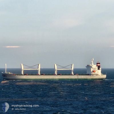
The vessel LAYLA (IMO: 9973420, MMSI: 538010680) is a Cargo It's sailing under the flag of [MH] Marshall Is.
In this page you can find informations about the vessels current position, last detected port calls, and current voyage information. If the vessels is not in coverage by AIS you will find the latest position.
The current position of LAYLA is detected by our AIS receivers and we are not responsible for the reliability of the data. The last position was recorded while the vessel was in Coverage by the Ais receivers of our vessel tracking app.
The current draught of LAYLA as reported by AIS is 10.1 meters
Weather
| Temperature | 28.4°C / 83.12°F |
|---|---|
| Wind Speed | 8 knots |
| Direction | 341° NNW |
| Pressure | 1010.6 hPa |
| Humidity | 73.4 % |
| Cloud Coverage | 100 % |
Featured Company
Events
| Tid | Hændelsen | Detaljer | Position / Dest | Info |
|---|---|---|---|---|
| 2025-03-10 21:42 | Status er ændret | Default Under way using engine |
-20.41718 / 113.65002
CNLQ
|
Fart: 12.3 kn Kurs: 9° |
| 2025-03-10 21:37 | Udenfor Dækning |
-20.43476 / 113.64679
Indian Ocean
CNLQ
|
Fart: 12.3 kn Kurs: 9° |
|
| 2025-03-10 21:27 | Status er ændret | Under way using engine Default |
-20.46880 / 113.64051
CNLQ
|
Fart: 12.3 kn Kurs: 11° |
| 2025-03-10 21:20 | Indenfor Dækning |
-20.46644 / 113.64100
Indian Ocean
CNLQ
|
Fart: 12.4 kn Kurs: 11.2° |
|
| 2025-03-10 10:04 | Status er ændret | Default Under way using engine |
-22.68903 / 113.20319
CNLQ
|
Fart: 11.6 kn Kurs: 8.9° |
| 2025-03-10 09:59 | Udenfor Dækning |
-22.70234 / 113.20052
Indian Ocean
CNLQ
|
Fart: 11.6 kn Kurs: 8.9° |
|
| 2025-03-10 09:44 | Status er ændret | Under way using engine Default |
-22.75061 / 113.18851
CNLQ
|
Fart: 11.5 kn Kurs: 13° |
| 2025-03-10 09:36 | Indenfor Dækning |
-22.74480 / 113.19009
Indian Ocean
CNLQ
|
Fart: 11.5 kn Kurs: 13.7° |
|
| 2025-03-07 17:33 | Status er ændret | Default Under way using engine |
-34.45092 / 114.77304
CNLQ
|
Fart: 12 kn Kurs: 343.3° |
| 2025-03-07 17:32 | Udenfor Dækning |
-34.45368 / 114.77386
Indian Ocean
CNLQ
|
Fart: 12 kn Kurs: 343.3° |