
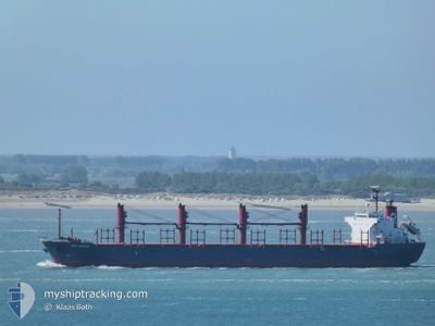
KEN ORCHID
Bulk Carrier
Current Trip
| Time Travelled | 51 days |
|---|---|
| Remaining Time | --- |
| Distance Travelled | 5561.16 nm |
| Remaining Distance | --- |
| AVG Speed | 10.2 Knots |
| MAX Speed | 13.4 Knots |
| AVG Wind | 12.8 knots |
| MAX Wind | 27 knots |
| MIN Temp | 9°C / 48.2°F |
| MAX Temp | 29.7°C / 85.46°F |
| Dybgang | 9.7 m |
| Position Modtaget | 14 d siden |
Current Position
| Longitude | --- |
|---|---|
| Latitude | --- |
| Status | Under way using engine |
| Fart | 11.8 Knots |
| Kurs | 82.3° |
| Område | Alboran Sea |
| Station | T-AIS |
| Position Modtaget | 14 d siden |
Info
Information
The current position of KEN ORCHID is in Alboran Sea with coordinates 36.33070° / -2.34798° as reported on 2025-12-20 01:55 by AIS to our vessel tracker app. The vessel's current speed is 11.8 Knots
The vessel KEN ORCHID (IMO: 9598153, MMSI: 636014693) is a Bulk Carrier that was built in 2011 ( 15 år gamle ). It's sailing under the flag of [LR] Liberia.
In this page you can find informations about the vessels current position, last detected port calls, and current voyage information. If the vessels is not in coverage by AIS you will find the latest position.
The current position of KEN ORCHID is detected by our AIS receivers and we are not responsible for the reliability of the data. The last position was recorded while the vessel was in Coverage by the Ais receivers of our vessel tracking app.
The current draught of KEN ORCHID as reported by AIS is 9.7 meters
Weather
| Temperature | 17.2°C / 62.96°F |
|---|---|
| Wind Speed | 11 knots |
| Direction | 181° S |
| Pressure | 1005.5 hPa |
| Humidity | 64.4 % |
| Cloud Coverage | 100 % |
Featured Company
Most Visited Ports (Last year)
| Port | Arrivals | |
|---|---|---|
| 4 | ||
| 3 | ||
| 2 | ||
| 1 | ||
| 1 | ||
| 1 |
Last Trips
| Origin | Departure | Destination | Arrival | Distance | |
|---|---|---|---|---|---|
| 2025-09-13 23:50 | 2025-11-02 05:19 | 86.48 nm |
Events
| Tid | Hændelsen | Detaljer | Position / Dest | Info |
|---|---|---|---|---|
| 2026-01-02 19:37 | STOP Sejllads | 15.53 nm, North of ALGER |
37.02930 / 3.06000
ALGIERS
|
Fart: 0.3 kn Kurs: 211° |
| 2026-01-02 15:23 | START Sejllads | 9.44 nm, North West of TAGNANT DJENET |
37.01707 / 3.63757
ALGIERS
|
Fart: 6.1 kn Kurs: 268° |
| 2026-01-01 09:26 | STOP Sejllads | 13.09 nm, North of EL DJAMILA |
37.01167 / 2.96333
ALGIERS
|
Fart: Kurs: -1° |
| 2026-01-01 07:08 | START Sejllads | 9.7 nm, North of EL MARSA TAMANFOUSST |
36.96586 / 3.26137
ALGIERS
|
Fart: 3.4 kn Kurs: 285° |
| 2025-12-31 20:36 | STOP Sejllads | 13.74 nm, North of ALGER |
36.99955 / 3.06557
ALGIERS
|
Fart: 0.2 kn Kurs: 298° |
| 2025-12-30 17:25 | START Sejllads | 12.02 nm, North of DELLYS |
37.10333 / 3.83333
ALGIERS
|
Fart: 5 kn Kurs: 252° |
| 2025-12-29 21:39 | STOP Sejllads | 14.06 nm, North of ALGER |
37.00500 / 3.07333
ALGIERS
|
Fart: Kurs: -1° |
| 2025-12-28 16:06 | START Sejllads | 12.18 nm, North of ZEMMOURI BAHAR |
36.99414 / 3.46997
ALGIERS
|
Fart: 3.2 kn Kurs: 169° |
| 2025-12-27 19:34 | STOP Sejllads | 14.35 nm, North West of EL MARSA TAMANFOUSST |
37.01333 / 3.08167
ALGIERS
|
Fart: Kurs: -1° |
| 2025-12-27 15:09 | START Sejllads | 7.13 nm, North of EL MARSA TAMANFOUSST |
36.92155 / 3.26552
ALGIERS
|
Fart: 3.6 kn Kurs: 293° |