
JY RIVER
Cargo
Current Trip
| Time Travelled | --- |
|---|---|
| Remaining Time | --- |
| Distance Travelled | 6395.48 nm |
| Remaining Distance | --- |
| AVG Speed | 11 Knots |
| MAX Speed | 15 Knots |
| AVG Wind | 10 knots |
| MAX Wind | 27.8 knots |
| MIN Temp | 23°C / 73.4°F |
| MAX Temp | 29.9°C / 85.82°F |
| Dybgang | 7.5 m |
| Position Modtaget | 9 d siden |
Current Position
| Longitude | --- |
|---|---|
| Latitude | --- |
| Status | Under way using engine |
| Fart | 13.5 Knots |
| Kurs | 308.8° |
| Område | Malacca Strait |
| Station | T-AIS |
| Position Modtaget | 9 d siden |
Info
Information
The current position of JY RIVER is in Malacca Strait with coordinates 2.14930° / 102.01457° as reported on 2025-12-29 23:37 by AIS to our vessel tracker app. The vessel's current speed is 13.5 Knots and is heading at the port of TERNEUZEN. The estimated time of arrival as calculated by MyShipTracking vessel tracking app is 2026-01-16 17:00 LT
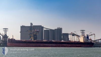
The vessel JY RIVER (IMO: 9845269, MMSI: 636019110) is a Cargo It's sailing under the flag of [LR] Liberia.
In this page you can find informations about the vessels current position, last detected port calls, and current voyage information. If the vessels is not in coverage by AIS you will find the latest position.
The current position of JY RIVER is detected by our AIS receivers and we are not responsible for the reliability of the data. The last position was recorded while the vessel was in Coverage by the Ais receivers of our vessel tracking app.
The current draught of JY RIVER as reported by AIS is 7.5 meters
Weather
| Temperature | 26.4°C / 79.52°F |
|---|---|
| Wind Speed | 17 knots |
| Direction | 111° ESE |
| Pressure | 1014 hPa |
| Humidity | 80.6 % |
| Cloud Coverage | 85 % |
Featured Company
Last Port Calls
Most Visited Ports (Last year)
| Port | Arrivals | |
|---|---|---|
| 3 | ||
| 2 | ||
| 1 | ||
| 1 | ||
| 1 | ||
| 1 |
Last Trips
| Origin | Departure | Destination | Arrival | Distance |
|---|
Events
| Tid | Hændelsen | Detaljer | Position / Dest | Info |
|---|---|---|---|---|
| 2025-12-29 23:45 | Status er ændret | Default Under way using engine |
2.16877 / 101.99069
FOR ORDER
|
Fart: 13.5 kn Kurs: 308.8° |
| 2025-12-29 23:37 | Status er ændret | Under way using engine Default |
2.14930 / 102.01457
FOR ORDER
|
Fart: 13.5 kn Kurs: 311° |
| 2025-12-29 23:37 | Udenfor Dækning |
2.14930 / 102.01457
Malacca Strait
FOR ORDER
|
Fart: 13.5 kn Kurs: 308.8° |
|
| 2025-12-29 23:28 | Status er ændret | Default Under way using engine |
2.12955 / 102.03790
FOR ORDER
|
Fart: 13.4 kn Kurs: 310.7° |