
HWA LAND
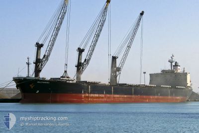
Bulk Carrier
Current Trip
| Time Travelled | 15 days |
|---|---|
| Remaining Time | 1 day |
| Distance Travelled | 622.86 nm |
| Remaining Distance | 585.02 nm |
| AVG Speed | 11 Knots |
| MAX Speed | 14.6 Knots |
| AVG Wind | 17 knots |
| MAX Wind | 32 knots |
| MIN Temp | 18.8°C / 65.84°F |
| MAX Temp | 28.3°C / 82.94°F |
| Dybgang | 13.4 m |
| Position Modtaget | 26 d siden |
Current Position
| Longitude | --- |
|---|---|
| Latitude | --- |
| Status | Under way using engine |
| Fart | 9.7 Knots |
| Kurs | 341.6° |
| Område | Yellow Sea |
| Station | T-AIS |
| Position Modtaget | 26 d siden |
Info
Information
The current position of HWA LAND is in Yellow Sea with coordinates 38.12112° / 123.96006° as reported on 2024-09-08 04:12 by AIS to our vessel tracker app. The vessel's current speed is 9.7 Knots and is heading at the port of DANDONG. The estimated time of arrival as calculated by MyShipTracking vessel tracking app is 2024-10-05 14:26 LT
The vessel HWA LAND (IMO: 9187722, MMSI: 357381000) is a Bulk Carrier that was built in 1999 ( 25 år gamle ). It's sailing under the flag of [PA] Panama.
In this page you can find informations about the vessels current position, last detected port calls, and current voyage information. If the vessels is not in coverage by AIS you will find the latest position.
The current position of HWA LAND is detected by our AIS receivers and we are not responsible for the reliability of the data. The last position was recorded while the vessel was in Coverage by the Ais receivers of our vessel tracking app.
The current draught of HWA LAND as reported by AIS is 13.4 meters
Weather
| Temperature | 21.7°C / 71.06°F |
|---|---|
| Wind Speed | 14 knots |
| Direction | 51° NE |
| Pressure | 1020.7 hPa |
| Humidity | 60.2 % |
| Cloud Coverage | --- |
Featured Company
Events
| Tid | Hændelsen | Detaljer | Position / Dest | Info |
|---|---|---|---|---|
| 2024-10-03 19:49 | STOP Sejllads | 13.44 nm, South East of TAICANG |
31.50045 / 121.37564
DANDONG CN
|
Fart: Kurs: -1° |
| 2024-10-03 10:08 | START Sejllads |
31.02472 / 122.85698
DANDONG CN
|
Fart: 6 kn Kurs: 220° |