
CURLIN
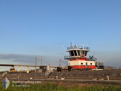
Tug
Current Trip
TURN DOCKSIDE
| Trip Time | --- |
|---|---|
| Trip Distance | --- |
| AVG Speed | --- |
| MAX Speed | --- |
| Dybgang | --- |
| AVG Wind | --- |
| MAX Wind | --- |
| MIN Temp | --- |
| MAX Temp | --- |
| Position Modtaget | Nu |
Current Position
| Longitude | -89.98544° |
|---|---|
| Latitude | 29.92700° |
| Status | Under way using engine |
| Fart | |
| Kurs | 277° |
| Område | Gulf of Mexico |
| Station | T-AIS |
| Position Modtaget | Nu |
Info
Information
The current position of CURLIN is in Gulf of Mexico with coordinates 29.92700° / -89.98544° as reported on 2024-05-04 17:04 by AIS to our vessel tracker app. The vessel's current speed is 0 Knots and is currently inside the port of NEW ORLEANS.
The vessel CURLIN (MMSI: 368117020) is a Tug It's sailing under the flag of [US] USA.
In this page you can find informations about the vessels current position, last detected port calls, and current voyage information. If the vessels is not in coverage by AIS you will find the latest position.
The current position of CURLIN is detected by our AIS receivers and we are not responsible for the reliability of the data. The last position was recorded while the vessel was in Coverage by the Ais receivers of our vessel tracking app.
The current draught of CURLIN as reported by AIS is 2.9 meters
Weather
| Temperature | 28.1°C / 82.58°F |
|---|---|
| Wind Speed | 6 knots |
| Direction | 150° SSE |
| Pressure | 1016 hPa |
| Humidity | 58.9 % |
| Cloud Coverage | 75 % |
Featured Company
Last Port Calls
Most Visited Ports (Last year)
| Port | Arrivals |
|---|
Last Trips
| Origin | Departure | Destination | Arrival | Distance |
|---|
Events
| Tid | Hændelsen | Detaljer | Position / Dest | Info |
|---|---|---|---|---|
| 2024-05-04 16:37 | STOP Sejllads |
29.92704 / -89.98567
[US] NEW ORLEANS
|
Fart: 0.1 kn Kurs: 282° |
|
| 2024-05-04 16:14 | Indenfor Dækning |
29.94542 / -90.01616
Gulf of Mexico
[US] NEW ORLEANS
|
Fart: 0.8 kn Kurs: 63.5° |
|
| 2024-05-04 15:04 | Udenfor Dækning |
29.94542 / -90.01626
Gulf of Mexico
[US] NEW ORLEANS
|
Fart: 0.1 kn Kurs: 58.4° |
|
| 2024-05-04 14:30 | Destination er ændret | TURN DOCKSIDE ALGIERS LOCK CANA |
29.94549 / -90.01397
[US] NEW ORLEANS
|
Fart: 2.2 kn Kurs: 325° |
| 2024-05-04 14:30 | ETA er ændret | 2024/05/04 09:06 2024/05/04 08:06 |
29.94549 / -90.01397
[US] NEW ORLEANS
|
Fart: 2.2 kn Kurs: 325° |
| 2024-05-04 13:36 | STOP Sejllads |
29.94542 / -90.01631
[US] NEW ORLEANS
|
Fart: 0.2 kn Kurs: 296° |
|
| 2024-05-04 13:35 | Status er ændret | Under way using engine Pushing Ahead - Towing |
29.94534 / -90.01591
[US] NEW ORLEANS
|
Fart: 5.2 kn Kurs: 295° |
| 2024-05-04 12:54 | START Sejllads |
29.91624 / -89.97055
[US] NEW ORLEANS
|
Fart: 5 kn Kurs: 53° |
|
| 2024-05-04 12:39 | STOP Sejllads |
29.91512 / -89.97218
[US] NEW ORLEANS
|
Fart: 0.1 kn Kurs: 42° |
|
| 2024-05-04 12:38 | START Sejllads |
29.91455 / -89.97282
[US] NEW ORLEANS
|
Fart: 4.5 kn Kurs: 49° |