
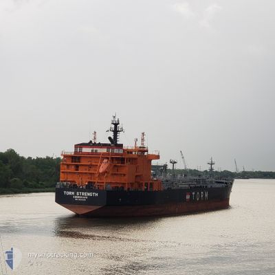
TORM STRENGTH
Tanker
Current Trip
| Time Travelled | 2 days |
|---|---|
| Remaining Time | --- |
| Distance Travelled | 94.85 nm |
| Remaining Distance | --- |
| AVG Speed | 11.1 Knots |
| MAX Speed | 13 Knots |
| AVG Wind | 11.5 knots |
| MAX Wind | 20.4 knots |
| MIN Temp | 25.6°C / 78.08°F |
| MAX Temp | 36.4°C / 97.52°F |
| Draught | 8.5 m |
| Position Received | 13 d ago |
Current Position
| Longitude | 125.83349° |
|---|---|
| Latitude | 36.32245° |
| Status | Under way using engine |
| Speed | 12.7 Knots |
| Course | 191.9° |
| Area | Yellow Sea |
| Station | T-AIS |
| Position Received | 13 d ago |
Info
Information
The current position of TORM STRENGTH is in Yellow Sea with coordinates 36.32245° / 125.83349° as reported on 2024-04-06 12:29 by AIS to our vessel tracker app. The vessel's current speed is 12.7 Knots and is heading at the port of YEOSU. The estimated time of arrival as calculated by MyShipTracking vessel tracking app is 2024-04-07 15:00 LT
The vessel TORM STRENGTH (IMO: 9836036, MMSI: 219024902) is a Tanker It's sailing under the flag of [DK] Denmark.
In this page you can find informations about the vessels current position, last detected port calls, and current voyage information. If the vessels is not in coverage by AIS you will find the latest position.
The current position of TORM STRENGTH is detected by our AIS receivers and we are not responsible for the reliability of the data. The last position was recorded while the vessel was in Coverage by the Ais receivers of our vessel tracking app.
The current draught of TORM STRENGTH as reported by AIS is 8.5 meters
Weather
| Temperature | 29.2°C / 84.56°F |
|---|---|
| Wind Speed | 11 knots |
| Direction | 115° ESE |
| Pressure | 1007.7 hPa |
| Humidity | 67.6 % |
| Cloud Coverage | 98 % |
Featured Company
Events
| Time | Event | Details | Position / Dest | Info |
|---|---|---|---|---|
| 2024-04-17 06:02 | STOP Moving | 3.01 nm, East of CALACA |
13.90536 / 120.84772
KRYOS
|
Speed: Course: 123° |
| 2024-04-16 22:52 | START Moving | 1.52 nm, South of LIMAY |
14.48209 / 120.62191
KRYOS
|
Speed: 3.9 kn Course: 146° |
| 2024-04-16 22:51 | PORT DEPARTURE |
|
14.48209 / 120.62191
KRYOS
|
Speed: 2 kn Course: 139° |
| 2024-04-15 16:27 | STOP Moving |
14.47971 / 120.61590
[PH] LIMAY
|
Speed: 0.3 kn Course: 5° |
|
| 2024-04-15 16:27 | PORT ARRIVAL |
|
14.47971 / 120.61590
[PH] LIMAY
|
Speed: 0.8 kn Course: 355° |
| 2024-04-15 15:43 | START Moving | 2.12 nm, South East of LIMAY |
14.48771 / 120.64916
KRYOS
|
Speed: 4.1 kn Course: 215° |
| 2024-04-15 13:14 | STOP Moving | 2.02 nm, South East of LIMAY |
14.49196 / 120.64955
KRYOS
|
Speed: 0.3 kn Course: 74° |
| 2024-04-13 04:46 | START Moving | 8.75 nm, South of XIUYU |
25.04931 / 119.02863
KRYOS
|
Speed: 6 kn Course: 78° |
| 2024-04-10 23:14 | STOP Moving | 8.86 nm, South of XIUYU |
25.04613 / 119.01779
KRYOS
|
Speed: 0.1 kn Course: 220° |
| 2024-04-10 21:50 | START Moving | 13.55 nm, South of XIUYU |
24.97774 / 119.07782
KRYOS
|
Speed: 4.7 kn Course: 298° |