
SUR
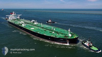
Tanker
Current Trip
| Trip Time | 16 days |
|---|---|
| Trip Distance | 3883.11 nm |
| AVG Speed | 10 Knopen |
| MAX Speed | 15.7 Knopen |
| Diepgang | 11 M |
| AVG Wind | 10.2 knots |
| MAX Wind | 29.5 knots |
| MIN Temp | 22.6°C / 72.68°F |
| MAX Temp | 28.9°C / 84.02°F |
| Positie ontvangen | 14 d geleden |
Current Position
| Lengtegraad | --- |
|---|---|
| Breedtegraat | --- |
| Status | Under way using engine |
| Snelheid | 9.9 Knopen |
| Koers | 271.7° |
| Gebied | Laccadive Sea |
| Station | T-AIS |
| Positie ontvangen | 14 d geleden |
Info
Information
The current position of SUR is in Laccadive Sea with coordinates 5.82392° / 80.05582° as reported on 2025-11-25 01:23 by AIS to our vessel tracker app. The vessel's current speed is 9.9 Knopen and is currently inside the port of AL DUQM.
The vessel SUR (IMO: 9870824, MMSI: 538009084) is a Tanker It's sailing under the flag of [MH] Marshall Is.
In this page you can find informations about the vessels current position, last detected port calls, and current voyage information. If the vessels is not in coverage by AIS you will find the latest position.
The current position of SUR is detected by our AIS receivers and we are not responsible for the reliability of the data. The last position was recorded while the vessel was in Coverage by the Ais receivers of our vessel tracking app.
The current draught of SUR as reported by AIS is 11 meters
Weather
| Temperature | 24.6°C / 76.28°F |
|---|---|
| Wind Speed | 12 knots |
| Direction | 61° ENE |
| Pressure | 1017.9 hPa |
| Humidity | 63.7 % |
| Cloud Coverage | --- |
Featured Company
Events
| Tijd | Evenement | Details | Positie / Bestemming | Info |
|---|---|---|---|---|
| 2025-12-01 17:40 | Stop beweging |
19.66942 / 57.71186
[OM] AL DUQM
|
Snelheid: 0.3 kn Koers: 148° |
|
| 2025-12-01 17:06 | Aankomsthaven |
|
19.68429 / 57.72290
[OM] AL DUQM
|
Snelheid: 5.1 kn Koers: 198° |
| 2025-12-01 15:44 | Start beweging | 8.16 nm, East of AL DUQM |
19.72192 / 57.83933
DUQM
|
Snelheid: 3.9 kn Koers: 216° |
| 2025-12-01 09:38 | Stop beweging | 8.31 nm, North East of AL DUQM |
19.73825 / 57.83515
DUQM
|
Snelheid: 0.1 kn Koers: 328° |